Kathmandu
Sunday, January 11, 2026


KATHMANDU: India and China have agreed to reopen three traditional border trade routes—Lipulekh, Shipki La, and Nathu La—following the 24th round of their Special Representatives’ dialogue in New Delhi between India’s NSA Ajit Doval and China’s Foreign Minister Wang Yi.
Separate statements from both countries confirmed the decision, which has sparked sharp reactions in Nepal.
Lipulekh, in Nepal’s northwestern Darchula district, has long been a disputed tri-junction involving Nepal, India, and China.
Historically recognized under the 1816 Sugauli Treaty, the area—including Kalapani and Limpiyadhura—remains claimed by Nepal as its sovereign territory.
India maintains a security presence and has built road links connecting to Tibet, while China’s agreements with India for trade and pilgrimage routes through Lipulekh have often sidelined Nepal, making the region a sensitive flashpoint of sovereignty, strategy, and diplomacy.
This explainer will clarify the historical background, recent developments, and geopolitical implications of the Lipulekh dispute, including the latest India-China trade agreement and Nepal’s response, helping readers understand the sensitivities and stakes involved.
What is the geographical location of Lipulekh?
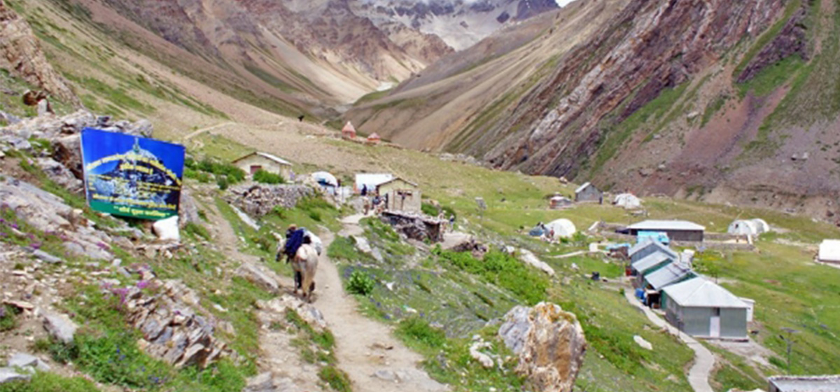
Lipulekh lies at an altitude of 5,029 meters in the upper part of Byas Rural Municipality in Darchula district, Nepal. It is a vital mountain pass that links South Asia to Tibet. From Lipulekh, Taklakot (Purang) in Tibet lies 16 km east, while the Indian paramilitary camp in Kalapani is about 10 km west.
To its northwest, 53 km away, is Limpiyadhura, the source of the Kali River. The Lipulekh pass is strategically significant, serving as a gateway to Lhasa, Shanghai, and Beijing. It connects trade, pilgrimage routes to Mount Kailash, and is part of the historic Silk Road extension.
Why is Lipulekh strategically, commercially, and culturally important?
Lipulekh has multiple layers of significance. Strategically, it offers India and China a shorter route for border trade, reducing transport costs compared to existing sea or air routes.
Commercially, it provides China access to India’s vast market of 1.4 billion consumers, while India can transport raw materials through Tibet at lower costs.
Culturally, the route is a pilgrimage path for Hindus traveling to Kailash Mansarovar and holds religious relevance with nearby Om Parvat and Kali temples. For Nepal, it is not only a border point but also part of its historical territory under the Sugauli Treaty, making its sovereignty central.
What is the historical basis of Nepal’s claim over Lipulekh?
Nepal’s claim rests on the 1816 Sugauli Treaty, which defined the Kali River as its western boundary. British-era maps from 1827 to 1856 show the river originating from Limpiyadhura, placing Kalapani, Lipulekh, and Limpiyadhura inside Nepal.
These maps are preserved in archives including the British Library and U.S. Library of Congress. The East India Company itself, in an 1815 secret letter by Governor-General Lord Moira, acknowledged the Kali River as Nepal’s boundary.
Contradiction arises in later maps, such as the 1879 Survey of India, which shifted the river eastwards near Kalapani, favoring India. Experts call this a cartographic manipulation.
How did the tri-junction boundary dispute arise?
During the 1961–62 Nepal-China border agreement, boundary demarcation was conducted up to Tinkar Pass and Chang La, but not extended westwards to Lipulekh and Limpiyadhura due to India’s absence. This left the tri-junction undefined.
Nepal argues that the true tri-junction lies at Limpiyadhura, where the Kali River originates, forming the Nepal-India-China meeting point.
India, however, claims the river originates near Kalapani, moving the tri-junction eastward.
China, while historically acknowledging Lipulekh as the tri-junction, has often bypassed Nepal in agreements with India. Thus, lack of trilateral consensus since the 19th century is the root of today’s overlapping claims.
Why do India and China focus on Lipulekh?
For both India and China, Lipulekh offers economic and logistical advantages.
China seeks faster access to the Indian market to expand exports, while India desires cheaper transport routes into China’s industrial hubs like Lhasa and Shanghai.
Air and sea trade between the two countries is costly, making mountain passes attractive alternatives. Other passes, such as Nathula in Sikkim or Shipki La in Himachal Pradesh, are less efficient. Thus, both countries view Lipulekh as a practical corridor.
Nepal, however, is excluded from such bilateral agreements, despite being the rightful sovereign, which diminishes its role and complicates regional geopolitics.
What agreements have India and China signed regarding Lipulekh?
India and China first agreed in 1954 to allow traders and pilgrims to use Lipulekh to travel to Tibet. Following Prime Minister Rajiv Gandhi’s 1988 visit to Beijing, movement through the pass resumed in 1992 after a 30-year halt due to the 1962 war.
In 2005, a protocol allowed military officials of both sides to meet at Lipulekh to ease tensions. The most controversial deal was in May 2015, when India and China agreed to expand border trade via Lipulekh without Nepal’s involvement.
This sparked strong protests in Kathmandu, as it sidelined Nepal’s sovereignty and direct stake in the territory.
How has Nepal historically responded to the Lipulekh issue?
Nepal has consistently asserted its claim through maps, diplomatic notes, and political statements.
In 1997, Indian PM I.K. Gujral promised that if technical reports confirmed Kalapani belonged to Nepal, India would withdraw.
In 2008, both countries agreed to resolve the dispute through talks, but no progress followed.
In 2020, Nepal issued a new political map officially incorporating Lipulekh, Kalapani, and Limpiyadhura.
With adding the disputed land that is currently occupied by India, the total area of Nepal has increased from 147,181 square kilometres to 147,516 square kilometres,
Leaders like Girija Prasad Koirala and Pushpa Kamal Dahal publicly defended Nepal’s claim.
However, Nepal’s diplomatic efforts have been weak, with its new map not gaining international recognition or formal acknowledgment from India and China.
What are the main evidences supporting Nepal’s claim today?
Nepal’s claim over the Lipulekh-Limpiyadhura-Kalapani region is supported by multiple lines of evidence.
The Sugauli Treaty of 1816 clearly established the Kali River as the western boundary of Nepal, providing a foundational legal document for the claim.
British-era maps from 1827 to 1856 consistently show Limpiyadhura as the source of the Kali River, reinforcing Nepal’s historical understanding of the boundary.
Colonial correspondence, such as Lord Moira’s 1815 letter, explicitly recognized the Kali River as the boundary between British India and Nepal.
Hydrological studies further substantiate this claim, scientifically identifying the river originating from Limpiyadhura as the main Kali River.
Ethnographic records also support Nepal’s position, showing that settlements in the Byas Valley—such as Gunji, Nabi, and Kuti—were historically administered by Nepal.
India, on the other hand, relies on later maps like the 1879 Survey that depict Kalapani as the river’s source, which Nepal considers falsified.
Taken together, the weight of historical, cartographic, scientific, and ethnographic evidence strongly favors Nepal’s claim, though weak diplomatic efforts have limited its recognition at the international level.
What are the political and diplomatic challenges for Nepal?
Nepal’s greatest challenge is its exclusion from India-China agreements, leaving its sovereignty ignored.
Domestically, political leaders voice strong claims but fail to sustain consistent diplomatic pressure. Nepal’s foreign policy apparatus lacks capacity, and its 2020 map publication has not been internationally endorsed.
India maintains military presence in Kalapani, blocking Nepali access, while China prefers bilateral dealings with India, sidelining Nepal. This reflects Nepal’s weak negotiation leverage.
Unless Nepal actively engages in trilateral diplomacy, leveraging historical evidence, and raising the issue at the UN, the Lipulekh dispute risks being permanently settled without Nepal’s participation—undermining its territorial integrity.