Kathmandu
Wednesday, July 15, 2026





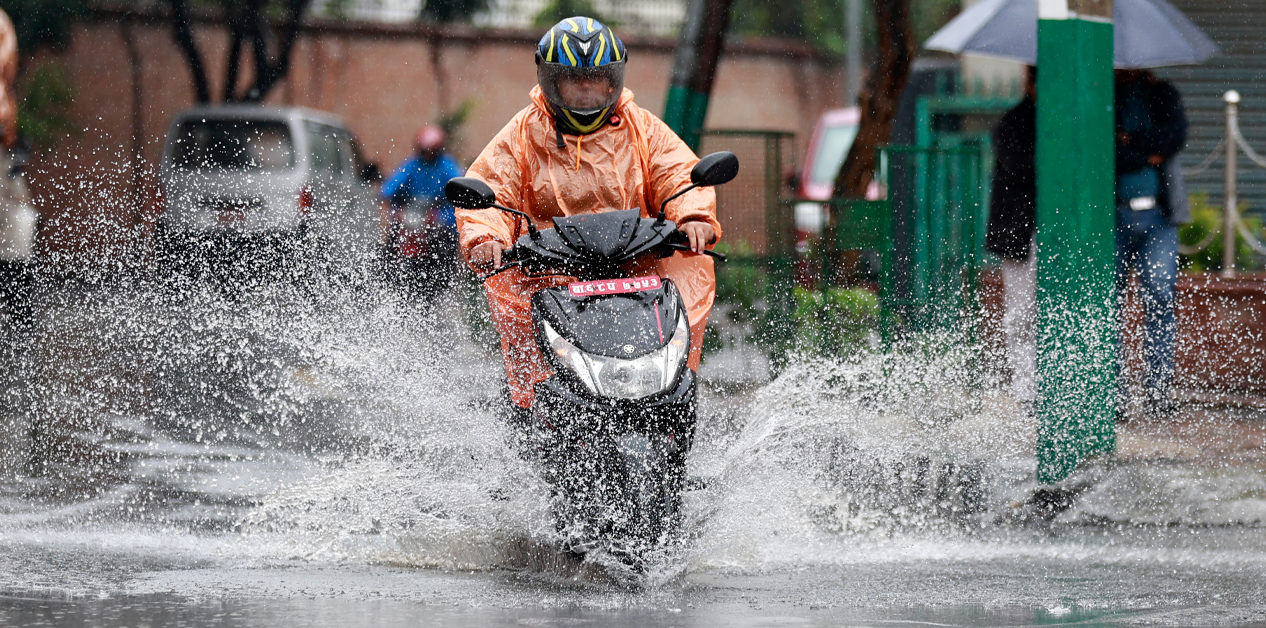
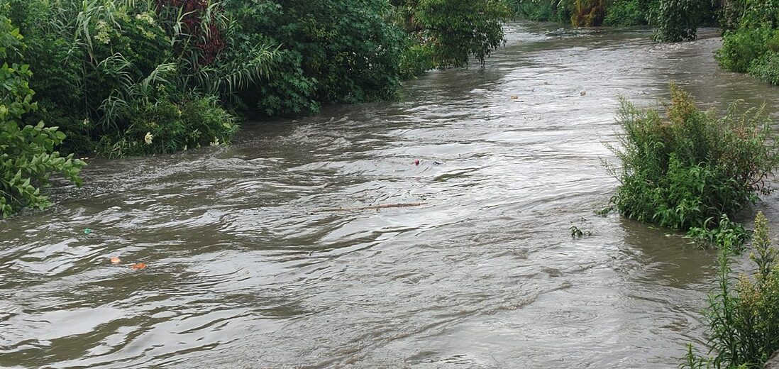
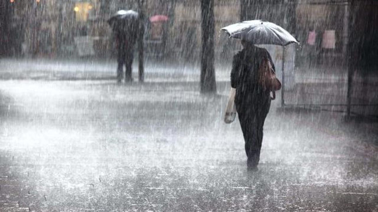
KATHMANDU: Meteorologists have forecast that rainfall will gradually increase across central and western Nepal over the next few days.
Sanjeev Adhikari, a meteorologist at the Department of Hydrology and Meteorology, stated that although there was a slight decrease in rainfall on Wednesday compared to Monday and Tuesday, precipitation is expected to pick up in central and western Nepal starting Thursday.
According to the department, monsoonal winds continue to influence weather patterns across the country.
The monsoonal low-pressure trough is currently positioned slightly north of its average location near the Terai region in the west, while remaining close to its average position in the eastern region.
The department noted that this positioning indicates a rise in rainfall activity across the central and western regions.
Adhikari added that mountainous and Terai regions are currently experiencing partly to generally cloudy conditions.
Over the last 12 hours, Bajhang recorded the highest rainfall at 54.8 mm.
Similarly, the department reported heavy rainfall in the Sindhupalchok area and some parts of Koshi Province over the last 24 hours.
According to meteorologist Adhikari, moderate rainfall is expected in the mountainous regions today.
Likewise, hilly areas of Koshi, Bagmati, Gandaki, and Lumbini provinces are also likely to experience rain.
While some places in the Terai plains of Koshi, Bagmati, Gandaki, and Lumbini provinces can expect rain, Madhesh Province is projected to receive comparatively less rainfall.
The department has urged residents living near rivers and streams, landslide-prone areas, and regions with weak geological formations to take necessary precautions in areas expecting heavy rainfall.