Kathmandu
Thursday, June 18, 2026


A 454-megawatt peaking run-of-river scheme on the Arun River near the China border aims to be a landmark test of Nepal's capacity to bankroll a major hydropower project entirely from domestic sources
KATHMANDU: Nepal’s Arun River, originating from glaciers below Mount Xixabangma in Tibet, has long been identified as one of the country’s richest corridors for hydropower development. The Kimathanka Arun Hydropower Project, situated in the remote northeastern reaches of Sankhuwasabha district in Koshi Province, is the newest entrant in a cascade of projects being developed along this river.
Proposed at Bhotkhola Rural Municipality-2, roughly 665 kilometres from Kathmandu, the project represents a deliberate effort by the government to develop a large-scale hydropower asset through entirely domestic capital, without relying on foreign developers or multilateral lenders.
What exactly is the Kimathanka Arun Hydropower Project and where is it located?
The Kimathanka Arun Hydropower Project, commonly referred to as KAHEP, is a 454-megawatt semi-reservoir hydropower scheme proposed on the Arun River in Bhotkhola Rural Municipality-2 of Sankhuwasabha district, Koshi Province, in northeastern Nepal. The project site sits near Chhumsur village, close to the Nepal-China border town of Kimathanka, which gives the project its name.
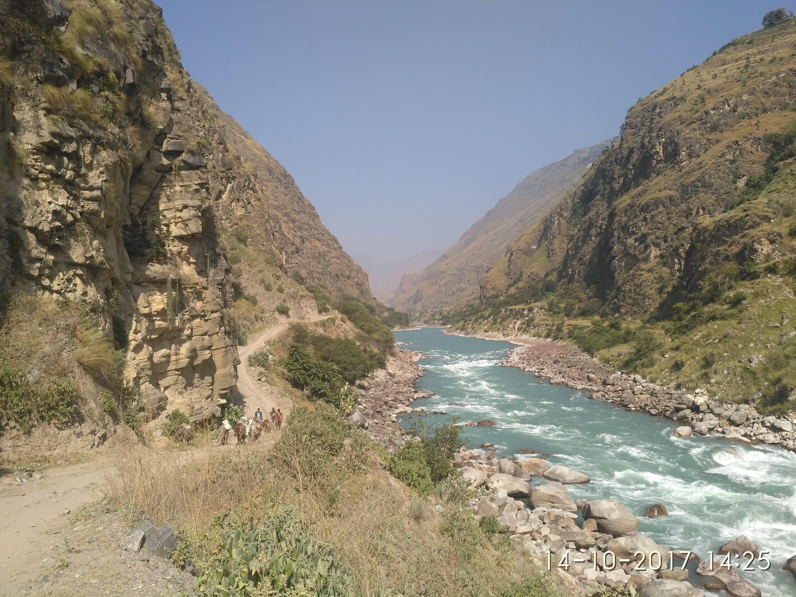
Arun River. Photo courtesy: VUCL.org
The Arun River at this point carries snowmelt-dominated perennial flow originating from the Yebokanjilala Glacier on Mount Xixabangma in Tibet, where the river is known locally as Pum Qu. The project is being developed by the Vidhyut Utpadan Company Limited (VUCL), a state-owned entity formally established in November 2016 under the government’s direction.
NEA Engineering Company, a subsidiary of the Nepal Electricity Authority, has been engaged as the project’s technical consultant. The headworks site is located at Chepu within Bhotkhola Rural Municipality-2, and the total road distance from Kathmandu to the headworks stands at approximately 665 kilometres, making site access one of the project’s ongoing logistical challenges.
What type of hydropower scheme is it, and what is the design philosophy behind it?
KAHEP is classified as a peaking run-of-river scheme, sometimes written as PRoR. Unlike a fully run-of-river design, which generates power in direct proportion to instantaneous river flow, a peaking run-of-river project uses limited water storage to dispatch electricity during periods of peak demand.
The project incorporates a semi-reservoir structure at the dam site that allows it to hold water temporarily and release it through the turbines during high-demand hours, rather than generating at a flat rate through the day. This design choice is particularly relevant for Nepal’s energy system because the country experiences acute electricity shortages during the dry winter months when run-of-river flows are at their lowest and demand remains high.
The design discharge for the project has been fixed at 143.5 cubic metres per second. The gross head available is 379.52 metres and the net head is 367.55 metres, which enables the use of high-efficiency Pelton turbines suited to this head range.
The semi-reservoir characteristic allows the project to offer a minimum of four hours of daily peaking capacity even in lean season, giving grid operators a more predictable and controllable generation source compared to purely run-of-river alternatives.
How much power will the project generate and how is the energy broken down?
The installed capacity of the project is 454 megawatts. The powerhouse will house four Pelton turbines, each rated at approximately 113.5 megawatts, totalling the full installed capacity. In terms of annual energy output, the project is projected to generate 2,690.97 gigawatt-hours of electricity per year, while the technical feasibility documents from the developer cite 2,551.16 gigawatt-hours based on the earlier design iteration.
The government sources associated with the January 2026 investment modality announcement use the figure of 2.69 billion units annually as the production target. Of this total annual generation, electricity produced during the monsoon season accounts for approximately 1.86 billion units, while winter peak-hour generation is estimated at 473.1 million units and winter off-peak generation at 353.3 million units.
The wet season energy output is therefore the dominant share, consistent with the river’s flow pattern, which sees maximum mean monthly flow of 562.8 cubic metres per second in August and a minimum of 48 cubic metres per second in April.
What is the estimated cost of the project and how will it be financed?
The total project cost, including interest accrued during the construction period, is estimated at Rs 97.94 billion. The financing plan approved by the government in January 2026 relies entirely on domestic sources, with no foreign bilateral or multilateral lenders involved.
Under the proposed financial structure, 70 percent of the total project cost, amounting to Rs 68.55 billion, will be raised through loans. The remaining 30 percent, worth Rs 29.38 billion, will be mobilised as equity.
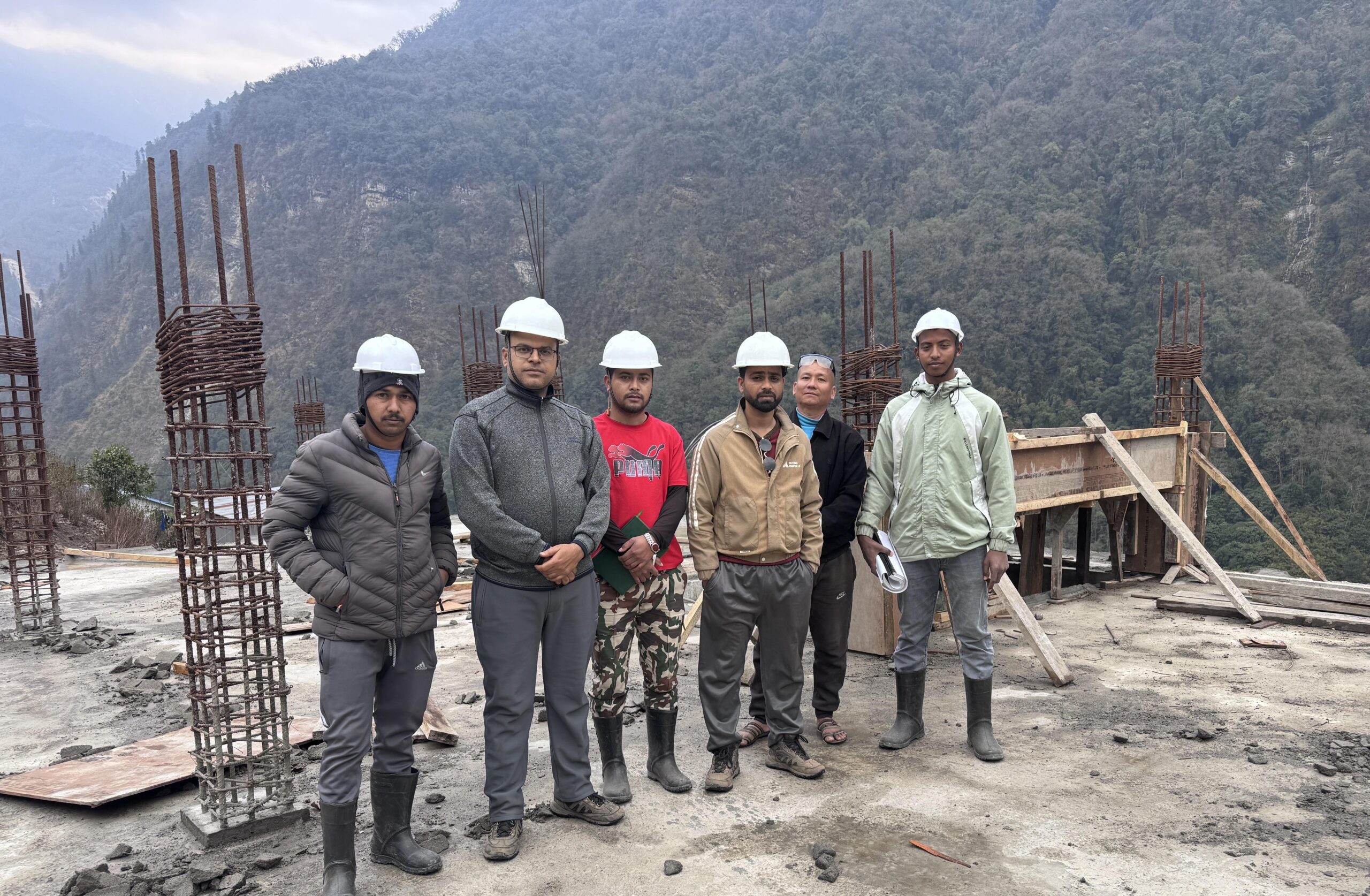
Construction team of Kimathanka Arun Hydropower Project. Photo courtesy: VUCL.org
For the debt component, the government has proposed co-financing from the Hydroelectricity Investment and Development Company Limited (HIDCL), the Employees Provident Fund, the Citizens Investment Fund, the Social Security Fund, insurance companies, and commercial banks and financial institutions.
This marks a significant departure from Nepal’s earlier hydropower projects, which largely depended on foreign capital. Former Energy Minister Kulman Ghising has framed the project as essential to the long-term financial sustainability of the Vidhyut Utpadan Company Limited itself, which holds licences for several projects but had not yet commenced construction on any of them as of early 2026.
The government has already spent Rs 731.4 million on feasibility studies and pre-construction activities before the investment modality was formally prepared.
Who owns the Vidhyut Utpadan Company Limited developing this project, and how are shares structured?
The Vidhyut Utpadan Company Limited (VUCL), is a state-owned entity formally incorporated in November 2016. Among promoter shareholders, the Government of Nepal holds 30 percent, the Nepal Electricity Authority holds 10 percent, the Employees Provident Fund holds 10 percent, Nepal Telecom holds 10 percent, the Citizens Investment Fund holds 5 percent, HIDCL holds 4 percent, and the National Life Insurance Company holds 2 percent.
Beyond these institutional promoters, 29 percent of shares in the project developer company are to be allocated to the general public. The equity raised from this public component will be generated by issuing shares to the company’s promoters, non-resident Nepalis and those in foreign employment, local residents of project-affected districts, members of extremely poor families, and ordinary citizens.
This structure aligns with the government’s “People’s Hydropower” concept, which aims to distribute ownership of state-developed hydropower assets broadly across Nepali society rather than concentrating returns within state agencies alone.
All ten local government units of Sankhuwasabha district have also formally expressed willingness to invest in the project through founder shares.
What is the current status of the Environmental Impact Assessment?
The Ministry of Forests and Environment has formally invited public feedback and suggestions on the EIA for the project’s construction phase, which represents a key regulatory step before construction can be sanctioned. The EIA process was set in motion by the Vidhyut Utpadan Company Limited under the Ministry of Energy, Water Resources and Irrigation.
NEA Engineering Company, functioning as the project’s technical consultant, has been involved in preparing the environmental study documentation. The EIA is legally mandatory for hydropower projects of this scale under Nepal’s Environment Protection Act and associated rules.
The process requires public disclosure of findings, collection of stakeholder responses, and eventual approval from the Ministry of Forests and Environment before the project can advance to the construction stage.
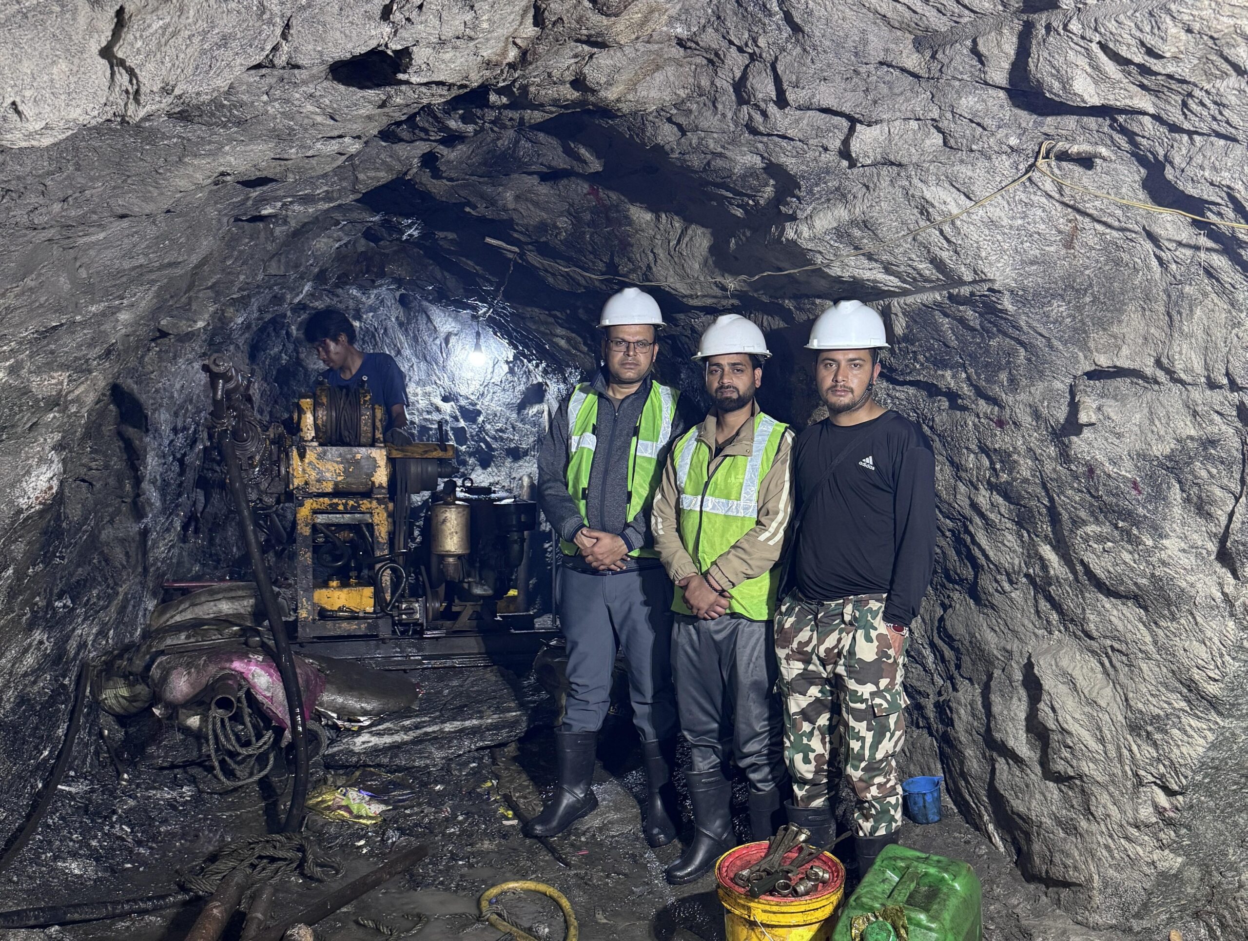
Team of Kimathanka Arun Hydropower Project. Photo courtesy: VUCL.org
The invitation to submit feedback on the EIA, as noted in the latest government communications, signals that the documentation is sufficiently advanced for public review.
This is a standard but critical regulatory threshold because EIA clearance in Nepal frequently determines the timeline for financial closure and commencement of civil works, particularly for projects in ecologically sensitive Himalayan terrain.
What are the key structural and technical features of the project?
The project’s headworks will divert water from the Arun River at Chepu within Bhotkhola Rural Municipality-2. A gravity dam will hold back water to create the semi-reservoir, which feeds into an underground settling basin. Water then passes through a headrace tunnel approximately 4.4 kilometres long before reaching the penstock shaft. The penstock has a length of 450 metres.
The underground powerhouse measures 117.5 metres in length, 19.5 metres in width, and 40.1 metres in height, and is equipped with four Pelton turbines each rated at around 113.5 megawatts. The powerhouse is four storeys tall, accessed by two elevators and three staircases.
An adjacent underground transformer cavern measures 102.4 metres long, 13 metres wide, and 27.6 metres tall, and will house 13 single-phase transformers including one spare unit. After generation, water exits through a tailrace tunnel with a 9.0-metre diameter and is returned to the Arun River at a tailwater level of 1,652 metres above sea level.
The predominant rock types across the project area are banded and augen gneiss and schistose gneiss, which are judged to be suitable for underground excavation of the scale required.
How will the electricity be evacuated from such a remote location?
Power evacuation from the project site is planned through an 18.5-kilometre-long transmission line operating at 400 kilovolts, configured as a double-circuit twin Moose conductor line. This line will connect the Kimathanka Arun powerhouse to a 400-kilovolt substation proposed at Haitar in Sankhuwasabha district, which serves as the designated Arun power hub for several cascade projects on the river.
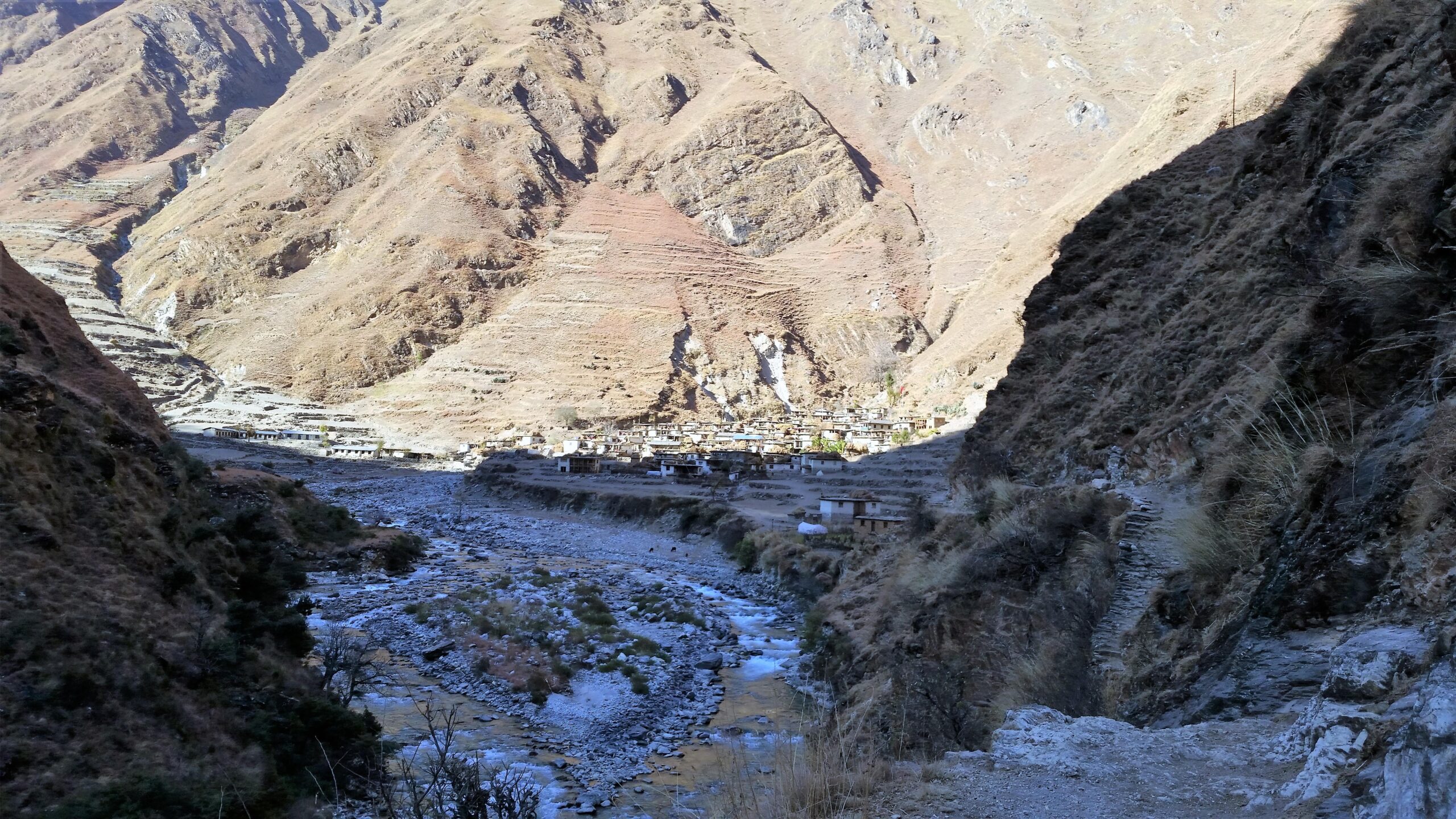
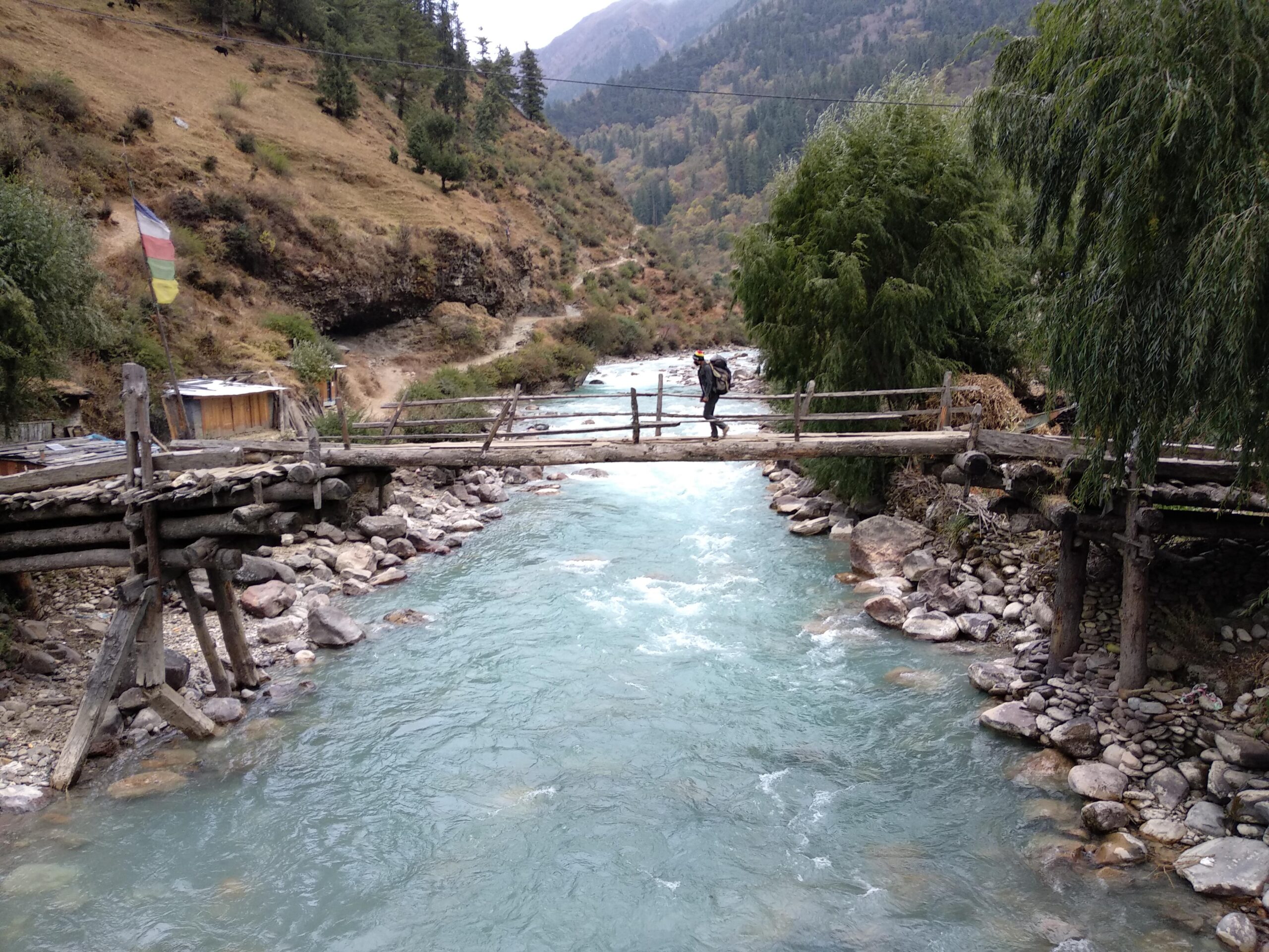
Arun River during the winter. Photo courtesy: VUCL.org
The 400-kV voltage level was chosen to minimise transmission losses over the considerable distance from this remote mountain location to the national grid. The Haitar substation is intended to function as an aggregation point for power generated by multiple Arun River projects, including the 900-megawatt Arun-3 being developed by India’s Satluj Jal Vidyut Nigam and the Upper Arun project.
Once electricity reaches Haitar, it can be routed into Nepal’s high-voltage transmission backbone for domestic distribution or potential cross-border power trade.
The road distance from Kathmandu to the headworks site is approximately 665 kilometres, which also illustrates the scale of the access challenge that has historically delayed mobilisation of construction equipment and personnel for projects in this corridor.
What is the current access road situation and how does it affect the project timeline?
Site access has historically been cited as one of the primary obstacles to developing hydropower in the upper Arun basin. The Biratnagar-Kimathanka road, which passes through or near the project area, has been under construction and remains a work in progress.
This road is critical because it allows heavy construction equipment and materials to reach the project zone, which is otherwise accessible only by difficult mountain trails.
The land required for the project office and staff residential camp has already been acquired, signalling that the project’s administrative footprint on the ground is being established. Compensation for land needed for the dam, reservoir, powerhouse, and ancillary structures has been determined.
The overall compensation rate was set at a meeting held at the District Administration Office in Sankhuwasabha on December 23, 2025, where the maximum per-ropani (508.72 square meters) rate was fixed at Rs. 690,000.
How much compensation has been distributed to affected communities and on what basis?
The Vidhyut Utpadan Company Limited began distributing compensation to landowners affected by the project on March 23, 2026. As of mid-June 2026, more than Rs 180 million had been paid out to 26 landowners whose land fell within the project’s footprint in Bhotkhola Rural Municipality-2.
The total compensation budget for land acquisition related to the dam, reservoir, powerhouse, and other project structures has been assessed at approximately Rs 450 million, meaning that the disbursements so far represent roughly 40 percent of the projected total.
The Sankhuwasabha District Administration Office confirmed the commencement and progress of distribution. Separately, land for the project office and staff camp had already been acquired before the compensation process for construction land began. Project Manager has been cited as the responsible official overseeing compensation activities at the project level.
What is the Arun River’s hydrological significance and how does it support this project?
The Arun River is one of the major tributaries of the Saptakoshi system and is considered among the most hydropower-rich rivers in Nepal. It originates from glaciers below Mount Xixabangma in Tibet, where it is called Pum Qu, and enters Nepal at Kimathanka, the northernmost crossing point on the Nepal-China border in Sankhuwasabha.
The catchment area at the Kimathanka outlet point spans approximately 24,835 square kilometres, drawing from a vast high-altitude basin across both Nepal and Tibet. The river’s mean monthly flow ranges from a high of 562.8 cubic metres per second in August, driven by monsoon rainfall and glacial melt, to a low of 48 cubic metres per second in April, which represents the lean-season constraint.
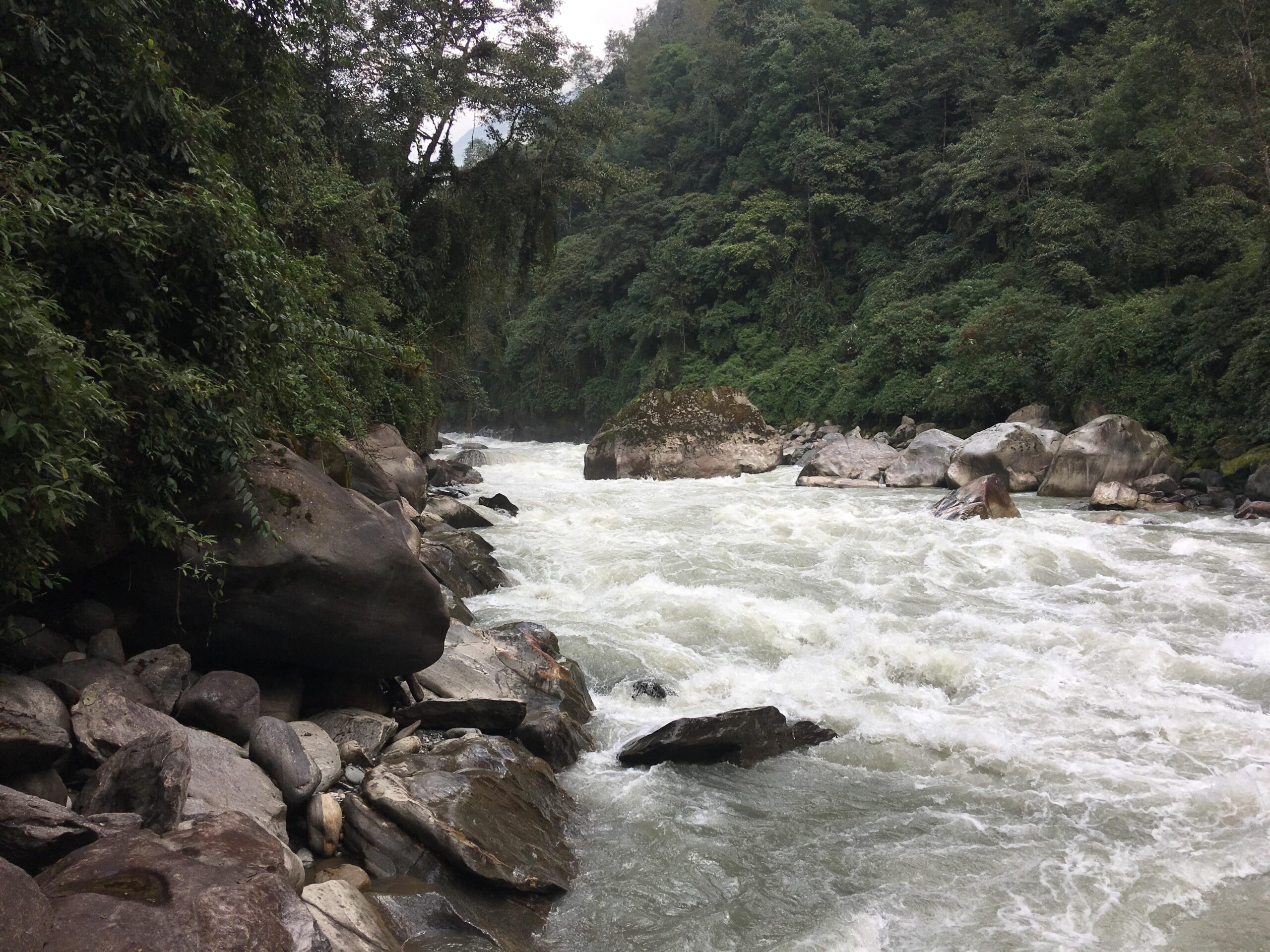
Arun River
The design flood for the project’s permanent structures has been estimated at the one-in-10,000-year level, equivalent to 4,570.5 cubic metres per second, while the diversion flood during construction is pegged at the one-in-five-year level of 1,493.5 cubic metres per second.
The river’s combination of high head, substantial flow, and glacially sustained perennial character makes it one of Nepal’s most viable corridors for large-scale peaking hydropower development.
What is the Arun cascade and how does KAHEP fit within it?
The Arun River has been identified as a hydropower hub, with multiple projects being developed in a cascade arrangement that allows water to be used sequentially by projects at different elevations along the river.
The Kimathanka Arun project sits at the uppermost end of this cascade, harnessing flows where the river first enters Nepal from Tibet. Downstream, the 900-megawatt Arun-3 project is being developed by India’s Satluj Jal Vidyut Nigam and was reported to be 70 percent complete as of early 2024. SJVN is also developing the Lower Arun Hydropower Project further downstream.
The 1,100-megawatt Upper Arun project, developed through a separate special purpose vehicle under NEA’s umbrella, is in a more advanced preparation stage with its access road under construction and construction expected to begin in 2026 with a target completion of December 2032.
NEA and SJVN are jointly developing an Arun-4 project as well. Together, these cascade projects on the Arun River represent one of the most concentrated hydropower development corridors in Nepal, and the Haitar substation in Sankhuwasabha has been planned as the common power evacuation hub for the entire basin.
What are the projected economic benefits of the project?
The project is expected to generate annual revenue of Rs 16.91 billion from electricity sales once it reaches full operation. This revenue projection underpins the government’s rationale for developing the project through domestic capital, as it provides a clear long-term income stream for the Vidhyut Utpadan Company Limited.
Given that the company had not previously commenced construction on any project despite holding licences for several schemes, the Kimathanka Arun project represents a pivotal step in establishing the company as an operating entity with sustained earnings.
Beyond direct electricity revenue, the project is expected to contribute to Nepal’s dry-season energy security. Nepal has historically faced electricity shortages during winter months due to the dominance of run-of-river generation in its existing mix, and a peaking project of this scale on a glacier-fed river will materially reduce the dependence on costly energy imports from India during lean months.
The project’s ownership structure, which includes shares for local residents, non-resident Nepalis, and ordinary citizens, is also designed to spread the economic benefits beyond institutional shareholders.
All ten local government units of Sankhuwasabha have committed to investing through founder shares.
What are the key geological and environmental risk factors the project must address?
The project area sits within the Lesser Himalayan geological zone, characterised by banded and augen gneiss and schistose gneiss rock, which are generally suitable for large underground excavations. However, the Main Central Thrust, a major tectonic boundary running roughly north-south through the Kimathanka-Tumlingtar corridor on both sides of the Arun River, passes through the project area, exposing it to multiple minor shear and weak zones as well as small-scale local faults.
This tectonic complexity requires careful geotechnical analysis during detailed engineering design. On the surface hydrology side, the upper Arun is prone to glacial lake outburst floods (GLOFs), though modelling suggests that the attenuation effect of the river channel would substantially reduce GLOF peak flows by the time they reach the project location compared to the direct impact of the probable maximum flood.
Landslide damming is another documented hazard in the upper Arun, and at least one historic landslide dam has been identified within the project area. The EIA process currently underway is intended to systematically identify and prescribe mitigation measures for these environmental and geological risks, as required under Nepal’s Environment Protection Act before construction approval can be granted.
What are the next steps before construction can begin?
Several procedural and regulatory steps must be completed before civil works can commence. Most immediately, the Ministry of Forests and Environment needs to process the public feedback received on the EIA and, following due review, grant environmental clearance for the project. In parallel, the Vidhyut Utpadan Company Limited’s board must formally approve the investment modality and corporate equity plan.
Financial closure, which requires finalising loan agreements with HIDCL, the Employees Provident Fund, the Citizens Investment Fund, the Social Security Fund, and other domestic lenders, must also be completed. The remaining Rs. 270 million or so in land compensation needs to be disbursed to affected landowners before construction of major structures can proceed in those areas.
The access road to the project site, which is tied to the ongoing Biratnagar-Kimathanka road construction, must also reach a condition capable of supporting construction-grade traffic and logistics. Once all these steps are sequenced and completed, the project can formally enter the civil construction phase.
The government’s stated goal is to begin producing electricity within five years of construction start, though no official commissioning date has been publicly announced as of June 2026.